Occasionally, I share tales and pictures of my flying experiences on my blog. Well, earlier this week, I went flying again on a glorious, clear day (which you’ll notice from the pictures) and decided, as the visibility was so good, to do a ‘high climb’. Most ‘routine’, everyday flying in light aircraft is done at 2,000 to 3,000 ft, sometimes up to 4,000, but we generally don’t go much higher than that because, well, basically it takes time to get that far up and it subtracts from the horizontal distance you can travel. Plus, when you’re that high up, you can’t really see all that much on the ground because it’s simply too far away. Oh, and we also don’t generally fly much lower than about 2,000ft, if possible, because: a) navigation is more difficult when you’re lower down; b) there’s less time to sort things out if there’s an emergency; and c) that’s what we call ‘fast-jet country’ – most military low-flying takes place below about 1,500ft (that’s why it’s called ‘low flying’! 😉 ) and there is a significant collision risk if they’re up and about that day.
Anyway, less of the blather; here are the photos! You can click on any photo to get to the full-size version of it, should you wish to.
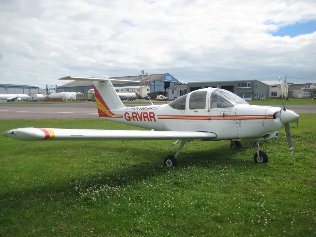
Here is the aeroplane I fly, she’s a Piper PA-38 Tomahawk, callsign ‘Romeo-Romeo’, based at Exeter Airport, Devon.
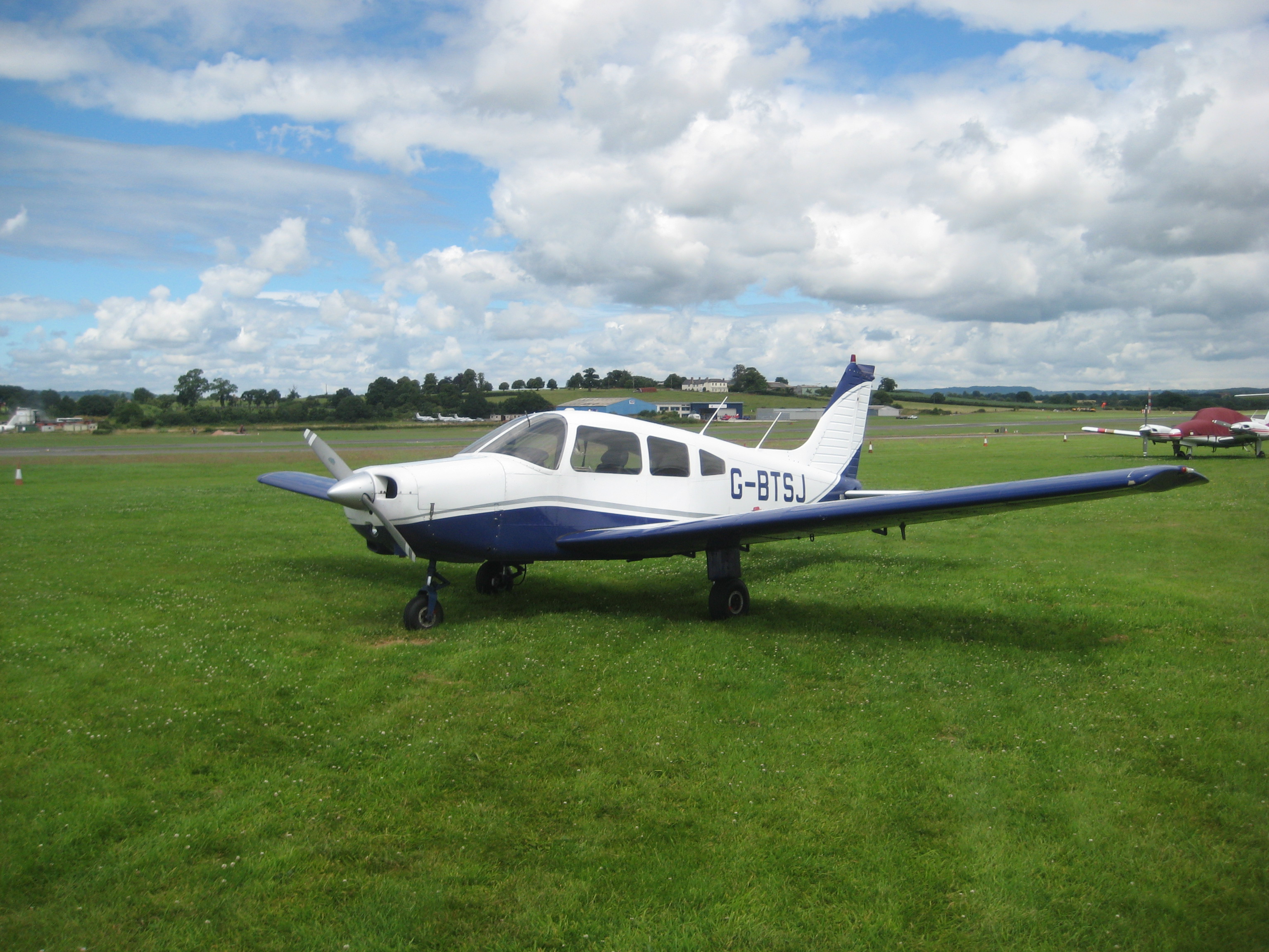
(Also present on the ground at Exeter was my old friend Sierra-Juliet, a Piper PA-28 Warrior four-seater, which featured in my story ‘The Forced Landing‘. She is now part of the fleet at my flying club):
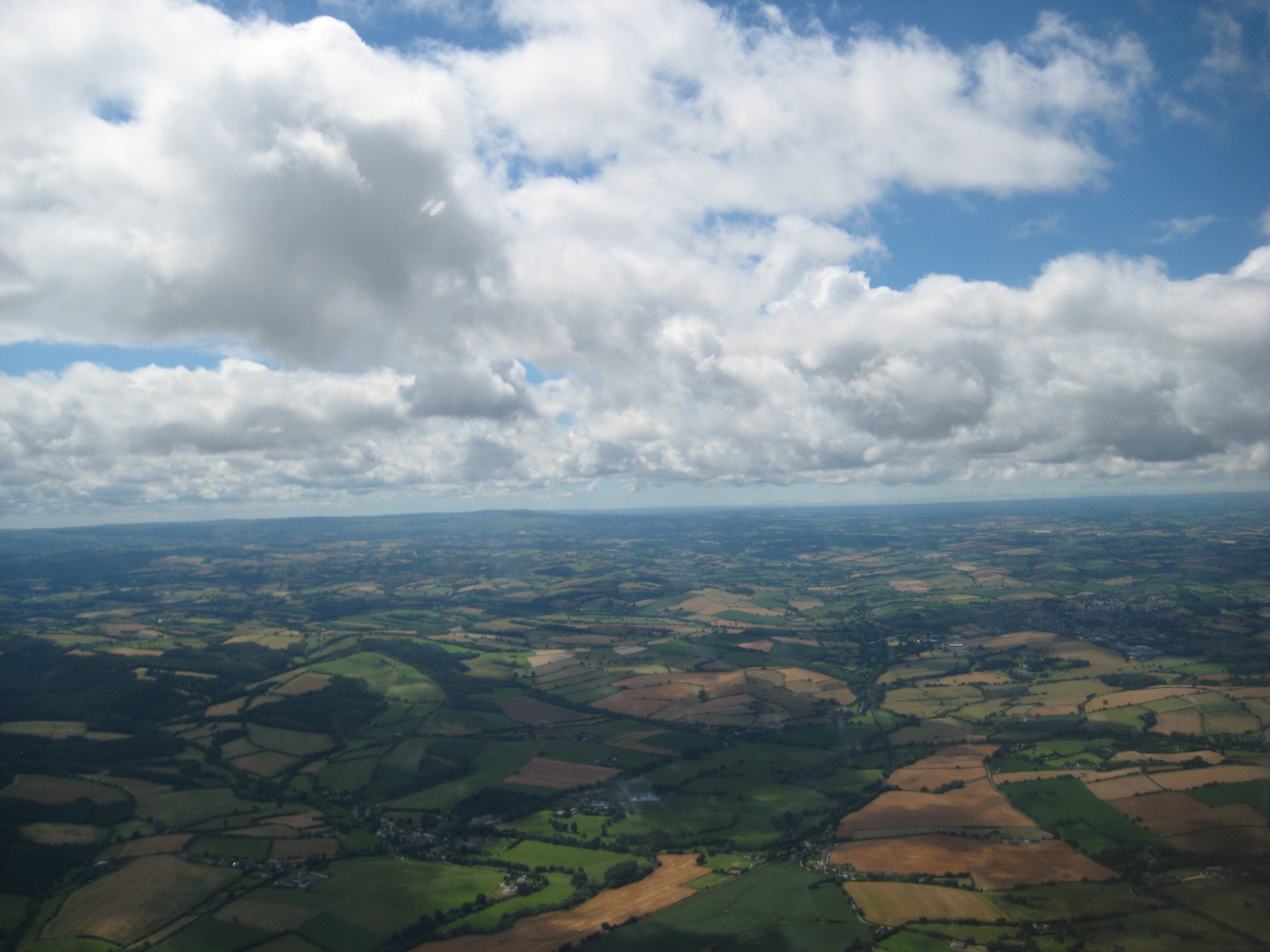
Anyway, to the flight. The visibility was so good today that shortly after liftoff, I could see the North coast of Devon. The dark blue bit right in the middle of the horizon is actually the Atlantic Ocean.
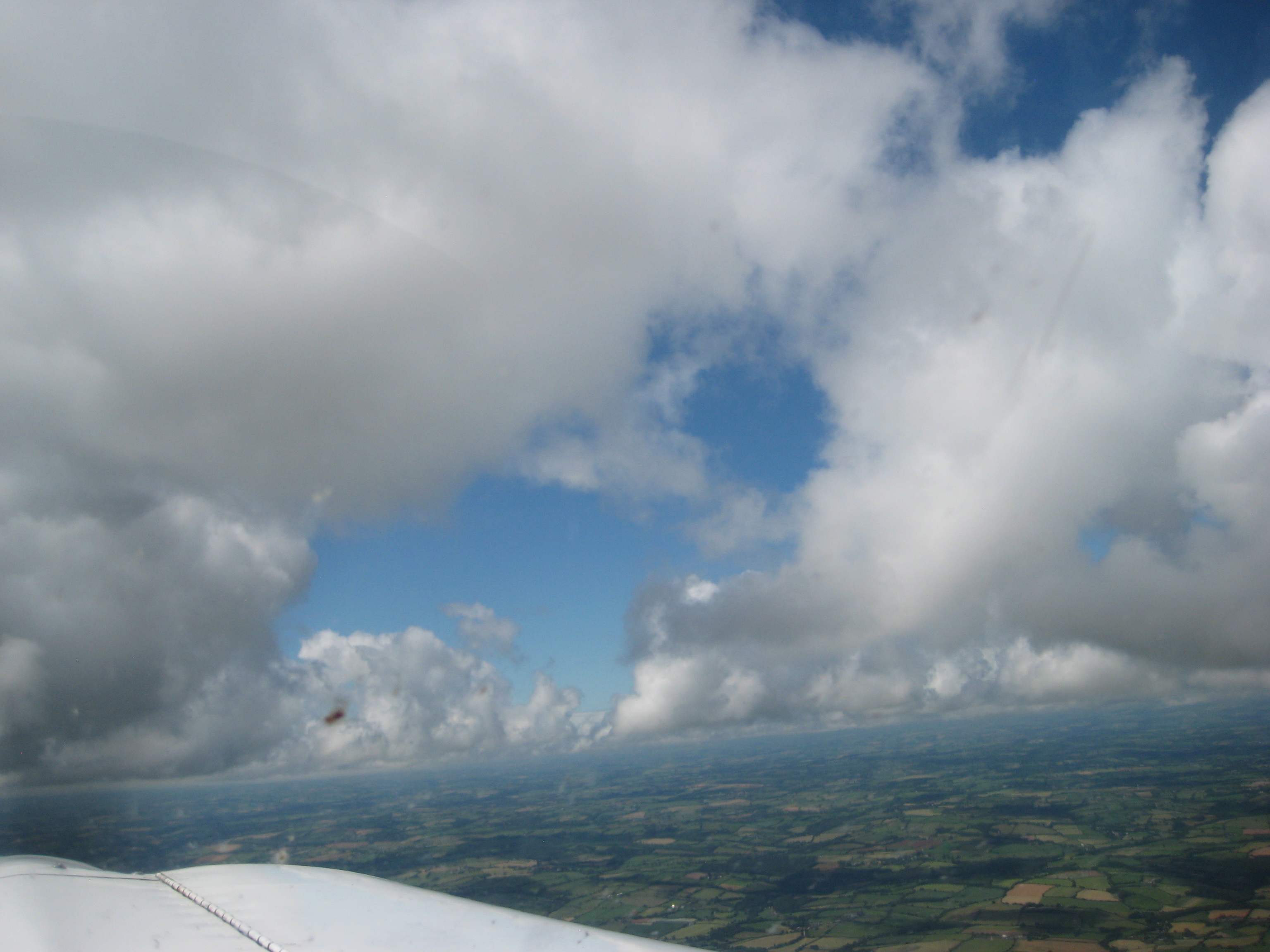
As I’m approaching the base of the cloud layer (it’s called the ‘cloudbase’, funnily enough), I’m looking for gaps through which to climb in order to get out above the clouds safely. My Pilot’s Licence only allows me to fly under ‘Visual Flight Rules’ (VFR), which means that I have to remain clear of cloud and always in sight of the surface (the ground).
Finding a nice gap somewhere near Crediton, I’ve managed to manoeuvre my way up between the clouds:
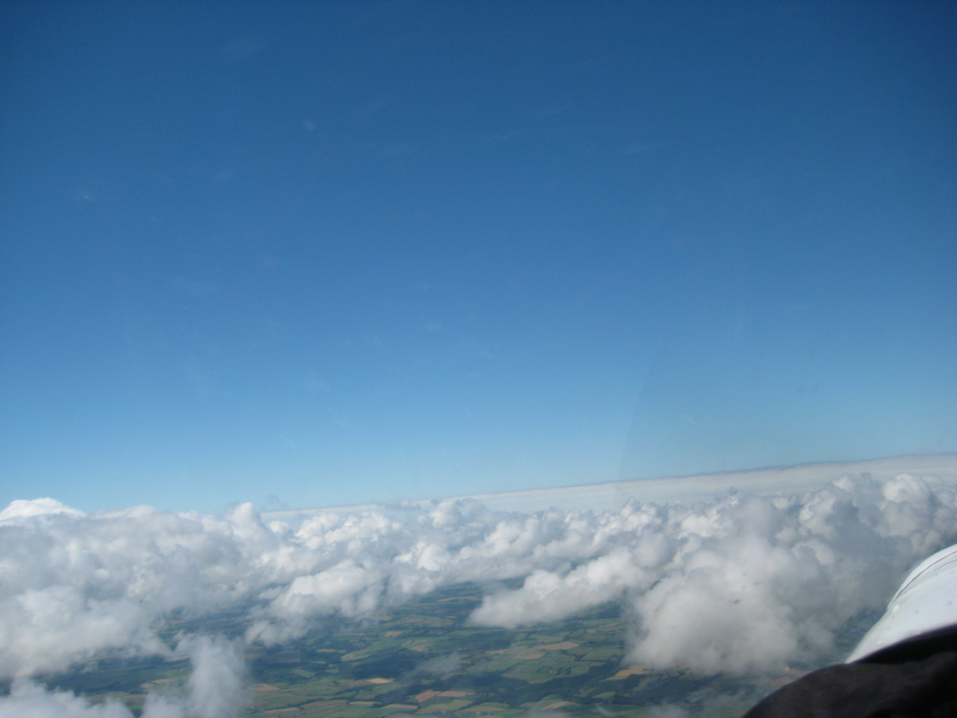
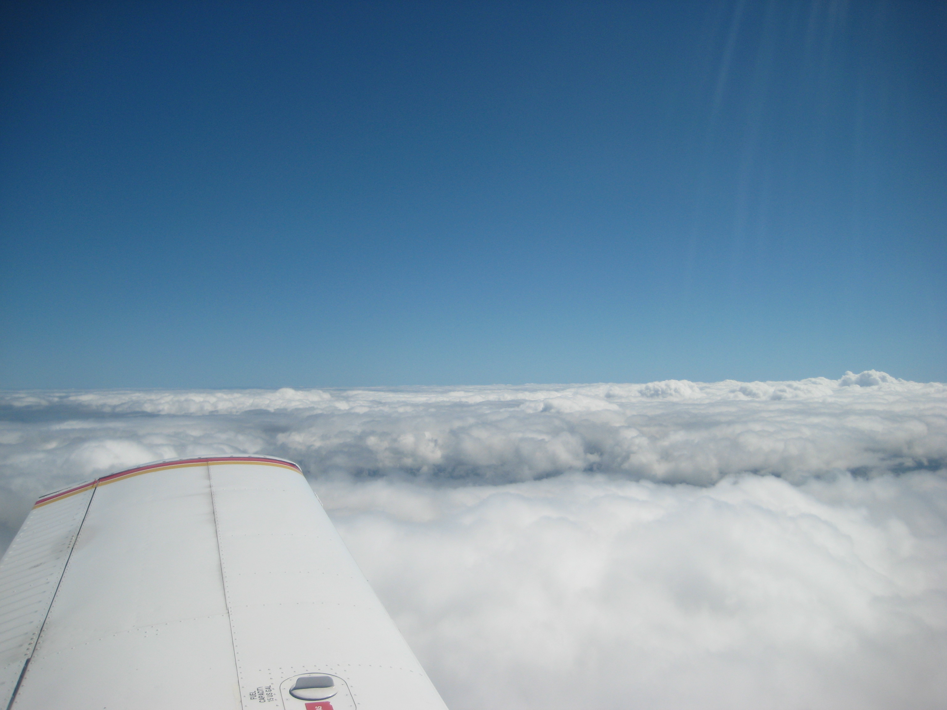
Climbing through flight level 70 (FL70; 7,000ft), there’s cloud as far as the eye can see. And above it, the vast blue dome of the sky and the brilliant white sun that is already too bright to look at:
Altimeter showing my flight level as FL71 or 7,100ft. The gauge below the altimeter is the Vertical Speed Indicator, which is showing a climb of about 400 ft/minute:
This is the cloud layer seen from above, from nearly 8,000ft above the ground. The thing to be careful of is that you always need to have a gap in the clouds in sight, so that you can get back down again. It’s possible to climb above the cloud through what we pilots call a ‘sucker’s gap’, and then it closes behind you…. you really don’t want that to happen!
So here we are at FL80 – 8,000ft above the ground. Since she has a non-supercharged engine, Romeo-Romeo’s performance drops off markedly above about 5,000ft, but she still has a bit of climb left in her. I reckon she could make 10,000ft easily; part of today’s objective for the flight was to see how she behaves this high up. Next time I do a high climb, it will be all the way up to FL100, or ten thousand feet, which is our limit because above about that altitude, you begin to feel the effects of lack of oxygen (we have no oxygen equipment in these aeroplanes). Actually, even at FL80, I was beginning to feel a little light-headed and my breathing was affected too.
So here’s a nice big gap for me to descend through. During the descent, I will need to keep an eye on the engine’s fuel mixture; as we perform large altitude changes, we need to make sure that the proportion of fuel to air is correct, otherwise (coming down) we might get a ‘lean cut’, which is where there is not enough fuel for the engine to burn given the proportion of oxygen in the air, so the engine stops; something else that you don’t want to happen. The opposite effect happens when going up – you need to make the mixture less fuel-rich, so that you don’t get a ‘rich cut’, where there isn’t enough oxygen in the mixture to support proper fuel combustion.
Descending through the gap, then, there’s plenty of space to enable me to remain clear of cloud:
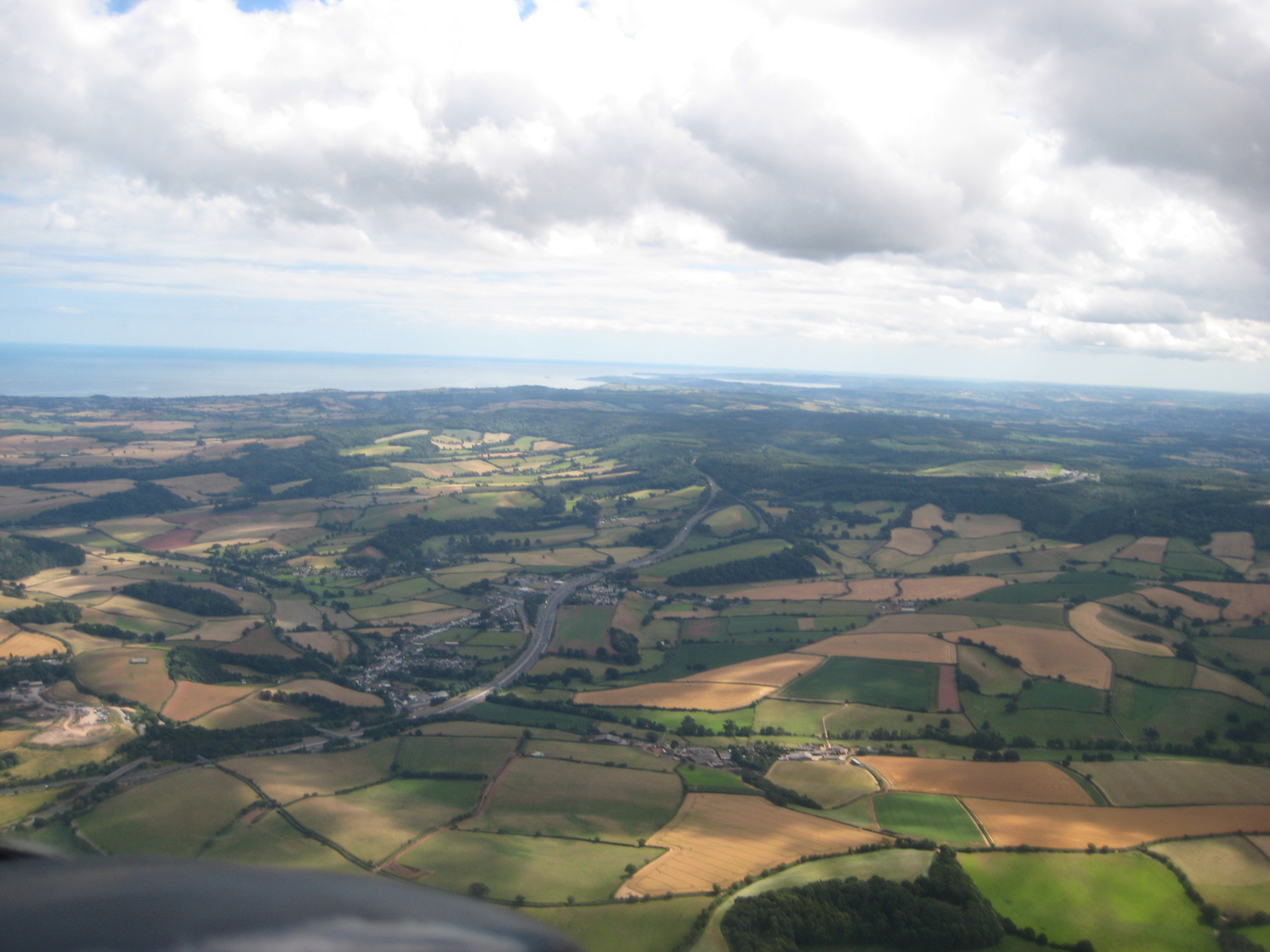
…and now as I drop out below the clouds, the visibility down here is just as good as above the clouds (although it isn’t as bright). That’s Torbay in the distance:
Turning now towards Exeter, we see Haldon Hill, the big ridge separating the Exe valley from the rest of South Devon – we call it Telegraph Hill and it’s a traditional place for vehicles to get stuck if ever it snows down here in the South:
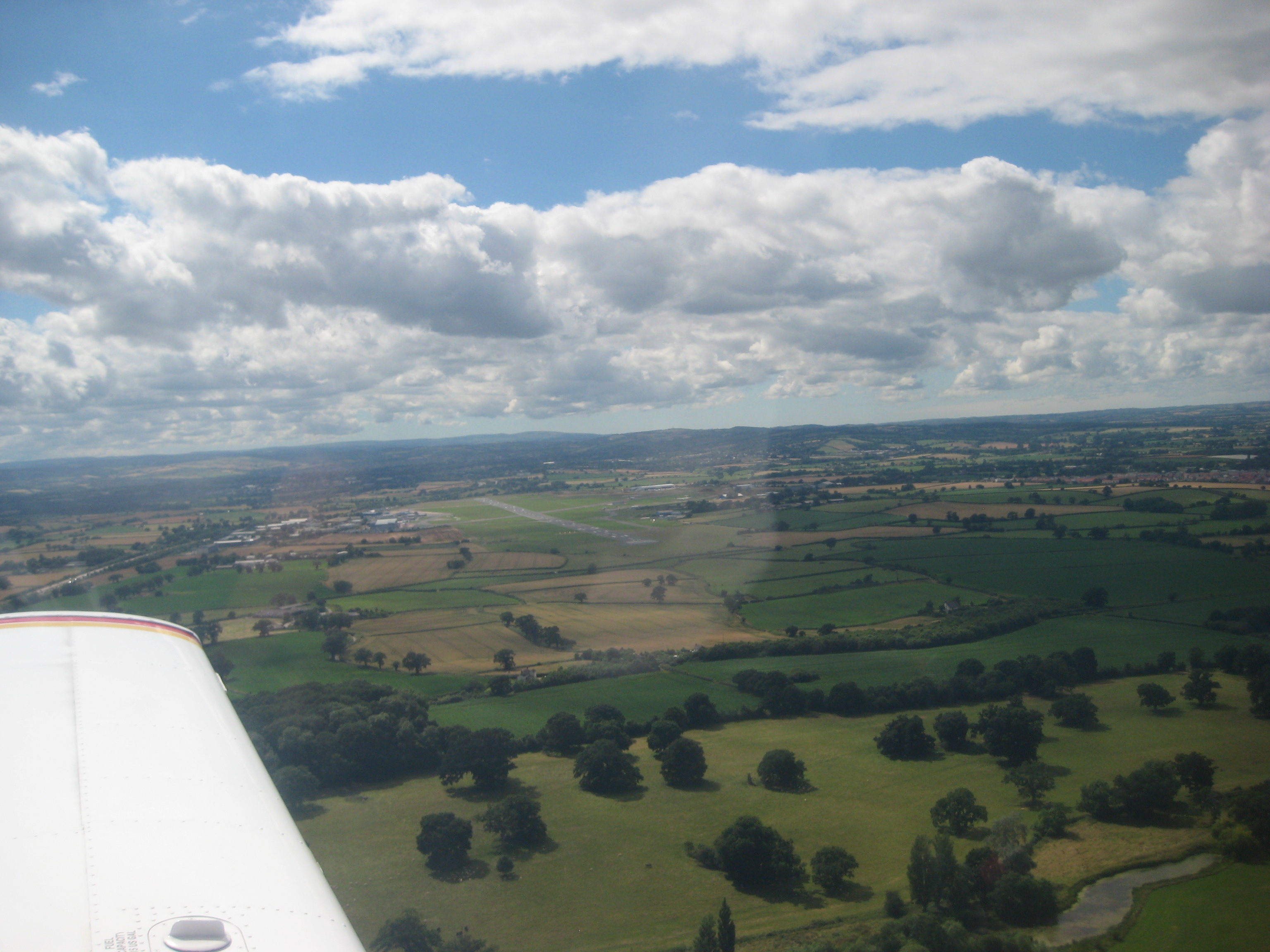
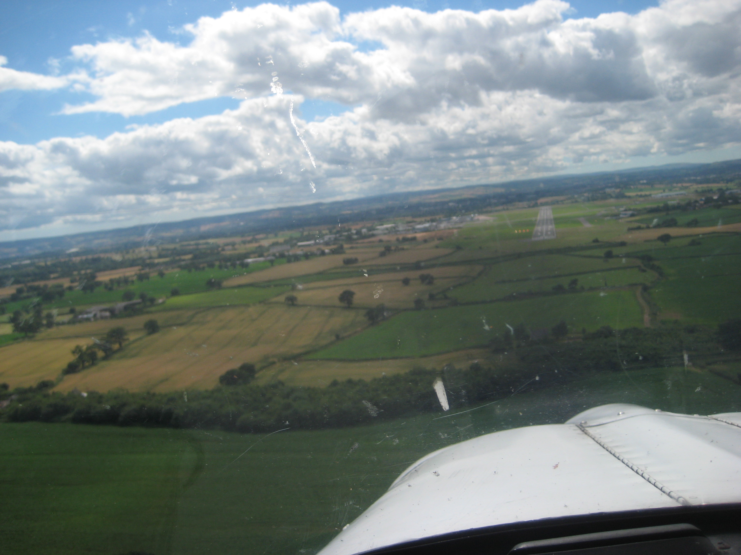
And finally, back to the airport again. In the middle of the next picture is Exeter’s main runway 08/26, in this picture I’m established on ‘left base’, the leg of the circuit before I line up for my final approach for Rwy 26. Airspeed is about 75kts, flaps down, everything ready to land.
And here we are lining up on finals. Time to put the camera away and concentrate on the flying….
Finally, I wanted to treat you to a video I took while climbing through a gap in the clouds. Photos are all well and good, but this video captures nicely the huge, three-dimensional majesty of the clouds as I fly past them.
Enjoy!

